By Isaac Aregbesola
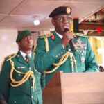
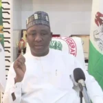
The Hydrographer of the Federation, Rear Adm. Ayodeji Olugbode, says Nigeria has contributed 85,325 square kilometers to the global seabed mapping initiative.
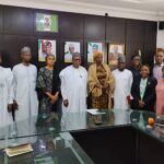
Olugbode said this on Tuesday, in Abuja at a news conference on World Hydrography Day celebration/West Africa Hydrographic Summit.
He noted that in spite of oceans covering 71 per cent of the earth’s surface, only 26.1 per cent had been mapped, hindering effective ocean governance.
Olugbode said that at the national level, the National Hydrographic Office had effectively mapped the Lagos and Calabar coastal lines under the national charting scheme.
“There are some things that we put into place: the mapping and the water. One is the density of shipping traffic, which Lagos has.
“Second, is the mobility of the seabed. How often does the seabed move, and that will determine, and this determines the rapidity in which we map.”
According to him, the next area for mapping is the Bonny, and the mapping process is being conducted systematically.
Speaking on the West Africa Hydrographic Summit scheduled for June 19 to June 21 in Abuja, Olugbode said it would bring together ECOWAS navies to discuss challenges and opportunities in maritime governance.
According to him, hydrography is the backdrop of maritime safety, economic development, and environmental sustainability, as well as ocean governance.
“The summit will chart the course for the future of hydrography in our region towards a global action.
“In 2025, we aim to firstly strengthen regional collaboration through the main West African Hydrographic Summit, foster joint surveys, and sharing data platforms, both virtual and institutionally.
“Two, we aim to feature keynote lectures and presentations, advocating hydrography and seabed to support the Seabed 2030 Initiative, a global program critical for the safety of navigation, climate resilience, environmental stewardship, and economic growth of the world.
“Thirdly, we hope to showcase innovations in hydrography technology through exhibitions and live demonstrations.
”Last year, we celebrated the role of hydrography in maritime safety.”
He said that the conference took a bold step this year by addressing regional gaps and aligning with global frameworks.
He said that it would also align with regional frameworks, like the African-Continental Free Trade Agreement, the United Nations Sustainable Goal 12, titled Life Below Water.
“This emphasizes the critical importance of the ocean and marine resources to human well-being and the planet and the health of the planet, which is a critical factor for the sustenance of mankind,” Olugbode said. (NAN)
Edited by Yakubu Uba

