


By Folasade Akpan
Nigeria has launched a geospatial database to strengthen preparations for the forthcoming National Population and Housing Census, aimed at delivering credible, technology-driven and verifiable national population data.
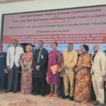
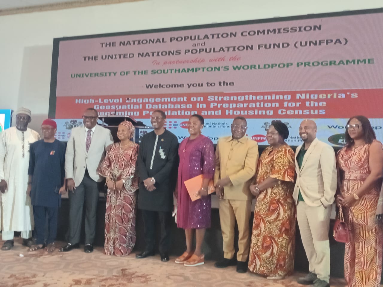
The initiative was unveiled on Thursday in Abuja at a High-Level engagement on Consolidating Nigeria’s Geospatial Database in Preparation for the Upcoming Population and Housing Census.
Ms Muriel Mafico, the Resident Representative, United Nations Population Fund (UNFPA) said the project marked the commencement of an 18-month initiative to modernise Nigeria’s population data systems and strengthen national geospatial and population data systems.
Represented by the Deputy Representative, Mr Koesson Kuawu, Mafico said that Population and Housing Census data are fundamental for effective governance, economic planning, national development, and informed decisionmaking.
She said that Nigeria’s ability to plan and deliver on its development goals depends significantly on the availability of credible, timely, and disaggregated population data.
“However, since the last Population and Housing Census was conducted in 2006, Nigeria has undergone significant demographic, social, and economic changes.
“The current reliance on outdated population estimates undermines evidence-based planning and hampers the effective implementation of national and global development programmes.”
According to her, an updated census data is critical for informing national planning and the government’s Renewed Hope Agenda, as well as assessing progress towards achieving goals like the Sustainable Development Goals and the Africa Agenda 2063.
Mafico added that the fund had deployed technical support, including advisory services, development of a census project document, and updating Nigeria’s geospatial database in line with 2030 census round requirements.
The NPC Chairman, Mr Aminu Yusuf, represented by the Delta State Commissioner, Mrs Blessing Brume-Ataguba, said census planning must rely on accurate and integrated spatial data systems.
“As Nigeria prepares for the next population and housing census, our planning must draw on current, spatially precise, integrated, and operationally useful data systems.
“This initiative seeks to strengthen Nigeria’s national geospatial database to aid census preparation, evidence-based planning, and broader development goals.”
According to him, a modern geospatial database is more than a technical asset as it forms a core part of national planning architecture.
He said that when well-developed and responsibly applied, it supports census operations alongside health planning, education delivery, infrastructure targeting, disaster preparedness, agricultural strategy, local governance, and other public priorities.
“Let me state clearly, this initiative neither substitutes for the census nor alters statutory responsibilities.
“It is a technical enhancement to equip the commission and national systems with better data infrastructure.”
The Statistician-General of the Federation, Mr Adeyemi Adediran, said the project would strengthen Nigeria’s statistical system and support credible census outcomes.
Represented by Mr Salihu Itopa, the Director, Information and Communication Technology, National Bureau of Statistics, he said it strengthens the technical backbone required for a credible, inclusive, and future-oriented national population and housing census.
“The world has entered an era in which geospatial intelligence is central to governance and countries are using spatial data to plan infrastructure, monitor population movements, manage natural resources, respond to emergencies, and design targeted social interventions.
“The quality of our population data determines the quality of our national surveys, which also determines the quality of our national statistics, and the quality of our national statistics determines the quality of our development decisions.”
The Director-General of the National Identity Management Commission (NIMC), Mrs Abisoye Coker-Odusote, emphasised the role of identity systems in strengthening census credibility.
Coker-Odusote who was represented by Mallam Sherrif Balogun, the Deputy Director of Database, said as Nigeria prepares to conduct its first census in nearly two decades, the imperatives of accuracy, inclusivity, and credibility are more critical than ever.
“The integration of geospatial intelligence into census planning is therefore not only timely but essential to ensuring a robust and reliable national enumeration exercise.
“The National Identification Number (NIN) provides a unique and verifiable identity for every citizen and legal resident and when harmonised with a comprehensive geospatial framework, it enhances the integrity of population data.”
In his keynote address, Dr Chris Nnanatu of WorldPop, University of Southampton, highlighted the importance of integrating multiple datasets for accurate planning and census execution.
“For us to be able to accurately identify how things are to be built across the general spatial landscape, we need other data sets.
“The project would ensure an updated database, strengthen national capacity and modernise census readiness.
“The goal is to strengthen Nigeria’s geospatial data infrastructure and produce high-resolution policy-relevant sampling frame to support census planning, health programming and development activities.”
He added that integrating datasets and advancing artificial intelligence and machine learning technologies would strengthen Nigeria’s spatial data framework for census and long-term development planning.(NAN)(www.nannews.ng)
Edited by Sadiya Hamza
