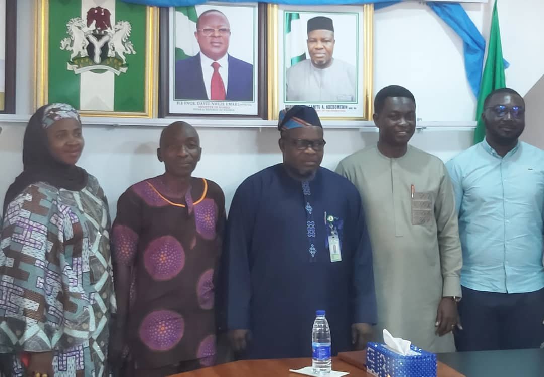
SGoF to host Geographic Information System Conference Nov. 14
By Ahmed Ubandoma
The Surveyor-General of the Federation (SGoF), Mr Abudul-Ganiyu Adebomehin, has announced plans to host the 2023 Conference on Geographic Information System (GIS) on Nov. 14 in Abuja.
Adebomehin disclosed this on Thursday while briefing newsmen on the preparations ahead of the event in Abuja.
“The GIS day is a remarkable day and a day that we have not had before in Nigeria, so we are planning it big so that people will know the importance of GIS.
“When you say GIS is everything you think-of, its because that is where you have the data, keep data and how you run analysis of data, showcase what you have in the data and use it for informed decision making.
“That’s why we are planning to give it a kind of attention where professionals will come and display what they have been able to achieve.
“So that at the end of the day we would have a remarkable GIS day, so come November 14 to 15 we would kick-start the the programme” he said.
Adebomehin said, the event is expected to attract stakeholders from formal and informal sectors of the nation’s economy.
The Surveyor-General said, the stakeholders would meet and brainstorm on the possibilities of having a unique systems that guarantee data harmonisation.
He stressed the need for professionals in the sector to support efforts in strengthening capacity towards achieving effective National Geospatial Data Infrastructure (NGDI) for Nigeria.
According to him, having effective and efficient NGDI is the surest way to sustainable development in terms of accuracy in database which would assist government in development planning.
“Because, when you talk about Geospatial Repository is sole responsibility of the office of Surveyor General of the Federation.
“When you go outside the country you will appreciate that having National Geospatial Data Infrastructure (NGDI) for Nigeria is everything you can think of.
”Because it would contain information about everything even the road, health institutions among others.
“Because anything you want to talk about is Geospatial Information when you keep it as repository then dissemination of that information is what makes the pool out of it” he said.
The press briefing was attended by stakeholders from the National Population Commission (NPC), and other partners from the private sector.
The News Agency of Nigeria(NAN) reports that, the Geographic Information System (GIS) is a computer system for capturing, storing, checking, and displaying data related to positions on Earth’s surface.
NAN also reports that, GIS helps individuals and organisations to better understand spatial patterns and relationships, especially in land administration, security among others.(NAN)(www.nannews.ng).
====
Edited by AbdulFatai Beki/Ekemini Ladejobi
Published By
Has also recently published
 General NewsNovember 10, 2023SGoF to host Geographic Information System Conference Nov. 14
 Economy/BusinessNovember 10, 2023Consulting firm prioritises staff welfare, embraces remote work
 General NewsNovember 9, 2023CSO lauds Uzodinma on women empowerment, girl-child’s rights
 HealthNovember 9, 2023Many Nigerians still at risk of malaria — Group


